
Kent topographic map
Interactive map
Click on the map to display elevation.
About this map
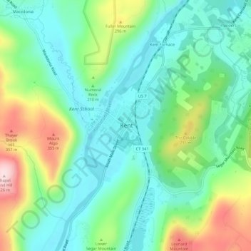
Name: Kent topographic map, elevation, terrain.
Location: Kent, Litchfield County, Connecticut, 06757, USA (41.70465 -73.49709 41.74465 -73.45709)
Average elevation: 194 m
Minimum elevation: 97 m
Maximum elevation: 421 m