
Moho topographic map
Interactive map
Click on the map to display elevation.
About this map
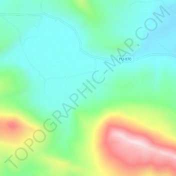
Name: Moho topographic map, elevation, terrain.
Location: Moho, Puno, Peru (-15.37494 -69.42586 -15.33494 -69.38586)
Average elevation: 4,056 m
Minimum elevation: 3,886 m
Maximum elevation: 4,449 m