
Broakulla topographic map
Interactive map
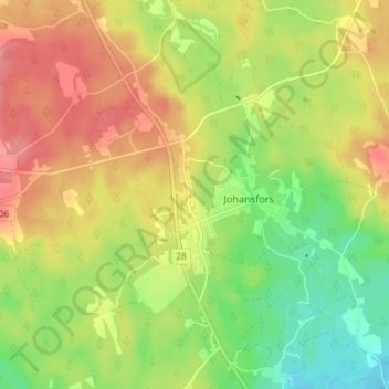
Click on the map to display elevation.
About this map
Name: Broakulla topographic map, elevation, terrain.
Location: Broakulla, Gemeinde Emmaboda, Provinz Kalmar, 361 93, Schweden (56.67633 15.50942 56.71633 15.54942)
Average elevation: 165 m
Minimum elevation: 125 m
Maximum elevation: 203 m