
Thank you for supporting this site ❤️
Make a donation
Make a donation
Medar topographic map
Click on the map to display elevation.
Thank you for supporting this site ❤️
Make a donation
Make a donation
About this map
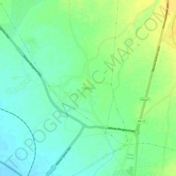
Name: Medar topographic map, elevation, terrain.
Location: Medar, Akhisar, Manisa, Aegean Region, 45200, Turkey (38.94228 27.80216 38.98228 27.84216)
Average elevation: 107 m
Minimum elevation: 96 m
Maximum elevation: 122 m
Thank you for supporting this site ❤️
Make a donation
Make a donation