
Ngezi topographic map
Interactive map
Click on the map to display elevation.
About this map
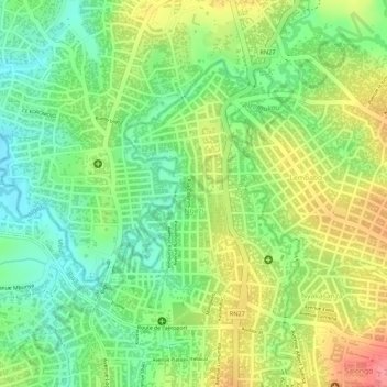
Name: Ngezi topographic map, elevation, terrain.
Location: Ngezi, Mbunya, Bunia, Ituri, Democratic Republic of the Congo (1.56067 30.23829 1.57925 30.25123)
Average elevation: 1,251 m
Minimum elevation: 1,210 m
Maximum elevation: 1,300 m
Other topographic maps
Click on a map to view its topography, its elevation and its terrain.
Bunia
Democratic Republic of the Congo > Ituri > Bunia
Bunia, Irumu, Orientale, Ituri, Democratic Republic of the Congo
Average elevation: 1,271 m