
Thank you for supporting this site ❤️
Make a donation
Make a donation
Andover topographic map
Click on the map to display elevation.
Thank you for supporting this site ❤️
Make a donation
Make a donation
About this map
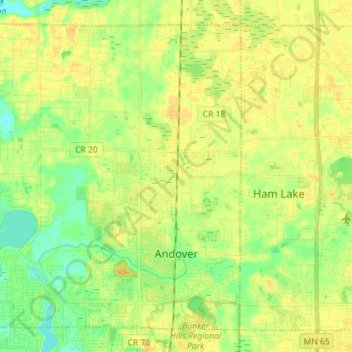
Name: Andover topographic map, elevation, terrain.
Location: Andover, Anoka County, Minnesota, 55304, United States (45.21157 -93.40702 45.29865 -93.26501)
Average elevation: 273 m
Minimum elevation: 259 m
Maximum elevation: 283 m
Thank you for supporting this site ❤️
Make a donation
Make a donation