
Manchay Alto topographic map
Interactive map
Click on the map to display elevation.
About this map
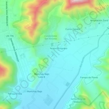
Name: Manchay Alto topographic map, elevation, terrain.
Location: Manchay Alto, Lima, LIMA 19, Perú (-12.17812 -76.87365 -12.13812 -76.83365)
Average elevation: 256 m
Minimum elevation: 131 m
Maximum elevation: 689 m