
Ras Rami topographic map
Interactive map
Click on the map to display elevation.
About this map
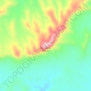
Name: Ras Rami topographic map, elevation, terrain.
Location: Ras Rami, Ouled Slimane, Daïra Ben Srour, M'Sila, RADP (34.90416 4.94723 34.90426 4.94733)
Average elevation: 661 m
Minimum elevation: 562 m
Maximum elevation: 833 m