
6044 topographic map
Interactive map
Click on the map to display elevation.
About this map
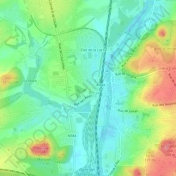
Name: 6044 topographic map, elevation, terrain.
Location: 6044, Cité de la Lache, Roux, Charleroi, Henao, Valonia, Bélgica (50.44177 4.39066 50.44187 4.39076)
Average elevation: 132 m
Minimum elevation: 103 m
Maximum elevation: 184 m