
Terezín topographic map
Interactive map
Click on the map to display elevation.
About this map
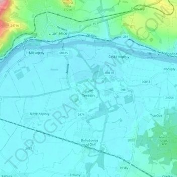
Name: Terezín topographic map, elevation, terrain.
Location: Terezín, okres Litoměřice, Ústecký kraj, Severozápad, Tsjechië (50.49651 14.10957 50.52999 14.21391)
Average elevation: 164 m
Minimum elevation: 141 m
Maximum elevation: 347 m