
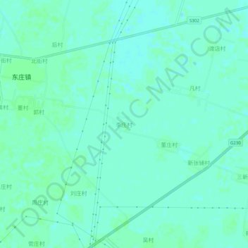
李庄村 topographic map
Interactive map
Click on the map to display elevation.
About this map
Name: 李庄村 topographic map, elevation, terrain.
Location: 李庄村, 内黄县, 安阳市, 河南省, 中国 (35.90329 114.80670 35.94329 114.84670)
Average elevation: 55 m
Minimum elevation: 52 m
Maximum elevation: 57 m