
San Lucas Tolimán topographic map
Interactive map
Click on the map to display elevation.
About this map
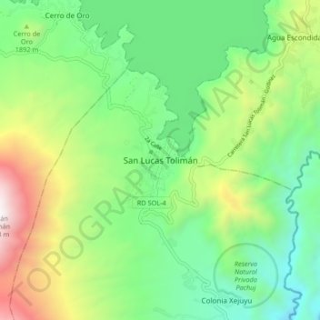
Name: San Lucas Tolimán topographic map, elevation, terrain.
Location: San Lucas Tolimán, Sololá, Guatemala (14.59321 -91.18381 14.67321 -91.10381)
Average elevation: 1,751 m
Minimum elevation: 1,083 m
Maximum elevation: 3,108 m