
Saharan Atlas topographic map
Interactive map
Click on the map to display elevation.
About this map
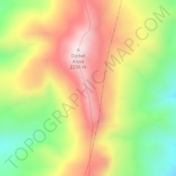
Name: Saharan Atlas topographic map, elevation, terrain.
Location: Saharan Atlas, Aïn Séfra, daïra Ain Sefra, Naâma, RADP (32.90587 -0.46577 32.90597 -0.46567)
Average elevation: 1,916 m
Minimum elevation: 1,588 m
Maximum elevation: 2,233 m