
Thank you for supporting this site ❤️
Make a donation
Make a donation
Khutala topographic map
Click on the map to display elevation.
Thank you for supporting this site ❤️
Make a donation
Make a donation
About this map
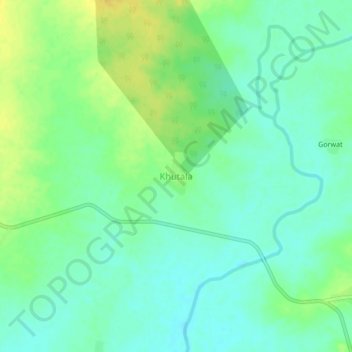
Name: Khutala topographic map, elevation, terrain.
Location: Khutala, Chimur Taluka, Chandrapur, Maharashtra, 442904, India (20.42853 79.47063 20.46853 79.51063)
Average elevation: 225 m
Minimum elevation: 215 m
Maximum elevation: 239 m
Thank you for supporting this site ❤️
Make a donation
Make a donation