
Thank you for supporting this site ❤️
Make a donation
Make a donation
Caringin topographic map
Click on the map to display elevation.
Thank you for supporting this site ❤️
Make a donation
Make a donation
About this map
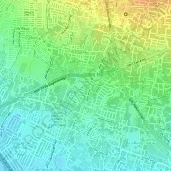
Name: Caringin topographic map, elevation, terrain.
Location: Caringin, Bandung Kulon, Bandung, West Java, Indonesia (-6.94239 107.56522 -6.92380 107.57506)
Average elevation: 698 m
Minimum elevation: 681 m
Maximum elevation: 721 m
Thank you for supporting this site ❤️
Make a donation
Make a donation