
La Conception topographic map
Interactive map
Click on the map to display elevation.
About this map
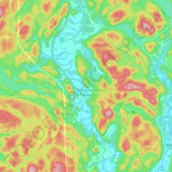
Name: La Conception topographic map, elevation, terrain.
Location: La Conception, Les Laurentides, Laurentides, Quebec, Kanada (46.09928 -74.83017 46.22100 -74.64389)
Average elevation: 284 m
Minimum elevation: 192 m
Maximum elevation: 447 m