
Roos topographic map
Click on the map to display elevation.
About this map
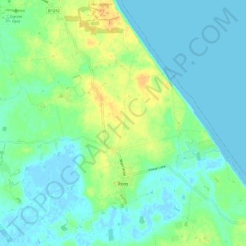
Name: Roos topographic map, elevation, terrain.
Location: Roos, East Riding of Yorkshire, England, United Kingdom (53.73778 -0.10400 53.79788 0.00258)
Average elevation: 9 m
Minimum elevation: -2 m
Maximum elevation: 27 m