
Ouled Moussa topographic map
Interactive map
Click on the map to display elevation.
About this map
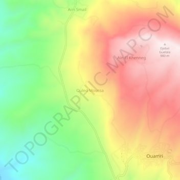
Name: Ouled Moussa topographic map, elevation, terrain.
Location: Ouled Moussa, Daïra Ouamri, Médéa, 26043, RADP (36.22677 2.52780 36.26677 2.56780)
Average elevation: 671 m
Minimum elevation: 353 m
Maximum elevation: 978 m