
Thank you for supporting this site ❤️
Make a donation
Make a donation
Hamiltons Bay topographic map
Click on the map to display elevation.
Thank you for supporting this site ❤️
Make a donation
Make a donation
About this map
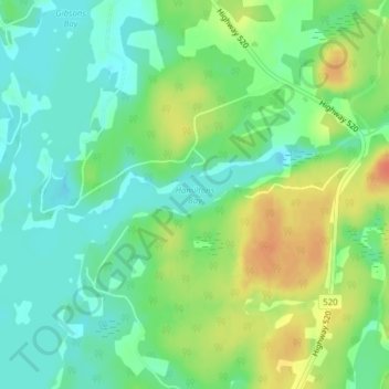
Name: Hamiltons Bay topographic map, elevation, terrain.
Average elevation: 264 m
Minimum elevation: 246 m
Maximum elevation: 292 m
Thank you for supporting this site ❤️
Make a donation
Make a donation
Other topographic maps
Click on a map to view its topography, its elevation and its terrain.
Whitestone Lake
Canada > Ontario > Parry Sound District > Whitestone > Dunchurch
Average elevation: 269 m