
Miga topographic map
Interactive map
Click on the map to display elevation.
About this map
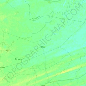
Name: Miga topographic map, elevation, terrain.
Location: Miga, Jigawa State, Nigeria (12.20050 9.62631 12.29110 9.79027)
Average elevation: 368 m
Minimum elevation: 362 m
Maximum elevation: 378 m