
Döhren topographic map
Interactive map
Click on the map to display elevation.
About this map
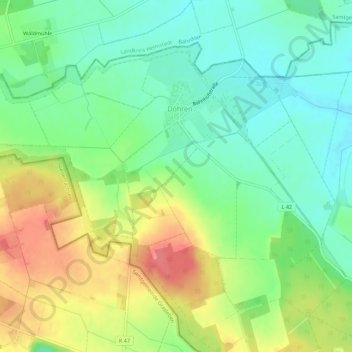
Name: Döhren topographic map, elevation, terrain.
Average elevation: 107 m
Minimum elevation: 79 m
Maximum elevation: 149 m
Other topographic maps
Click on a map to view its topography, its elevation and its terrain.
Barleben
Deutschland > Sachsen-Anhalt > Börde
Barleben, Börde, Sachsen-Anhalt, 39179, Deutschland
Average elevation: 51 m