
Lushoto topographic map
Interactive map
Click on the map to display elevation.
About this map
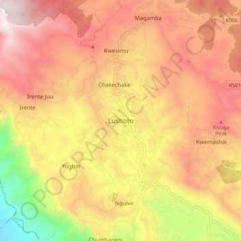
Name: Lushoto topographic map, elevation, terrain.
Location: Lushoto, Korogwe, Tanga, Northern Zone, Tanzania (-4.83515 38.25051 -4.75515 38.33051)
Average elevation: 1,492 m
Minimum elevation: 441 m
Maximum elevation: 2,238 m