Geolocate

Northern topographic map

Interactive map

Click on the map to display elevation.

About this map

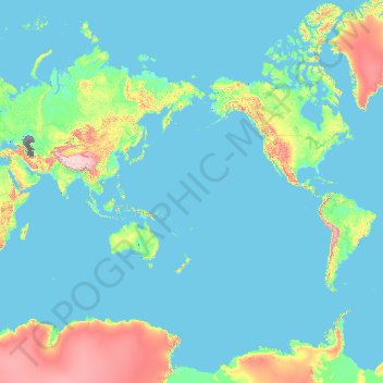
Name: Northern topographic map, elevation, terrain.

Location: Northern, Fiji (-17.32879 -180.00000 -15.50778 180.00000)

Average elevation: 386 m

Minimum elevation: -30 m

Maximum elevation: 6,282 m

Other topographic maps

Click on a map to view its topography, its elevation and its terrain.

Nadi

Fiji > Western > Ba

Nadi, Ba, Western, Fiji

Average elevation: 114 m

Juju

Fiji > Rotuma > Juju

Juju, Rotuma, Fiji

Average elevation: 40 m

Lomati

Fiji > Eastern > Lomati

Lomati, Eastern, Fiji

Average elevation: 30 m

Suva

Fiji > Central > Rewa

Suva, Rewa, Central, Fiji

Average elevation: 38 m

Viti Levu

Fiji > Western

Viti Levu, Western, Fiji

Average elevation: 112 m