
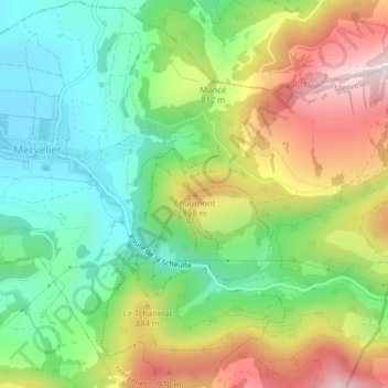
Chaumont topographic map
Interactive map
Click on the map to display elevation.
About this map
Name: Chaumont topographic map, elevation, terrain.
Location: Chaumont, Mervelier, District de Delémont, Jura, 2827, Suisse (47.34069 7.51457 47.34079 7.51467)
Average elevation: 754 m
Minimum elevation: 548 m
Maximum elevation: 1,061 m