
Daisy Lake topographic map
Interactive map
Click on the map to display elevation.
About this map
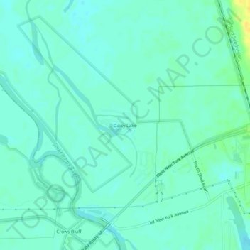
Name: Daisy Lake topographic map, elevation, terrain.
Location: Daisy Lake, Volusia County, Florida, 32720, USA (29.00471 -81.39895 29.04471 -81.35895)
Average elevation: 6 m
Minimum elevation: 0 m
Maximum elevation: 23 m