
Ash Township topographic map
Interactive map
Click on the map to display elevation.
About this map
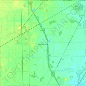
Name: Ash Township topographic map, elevation, terrain.
Location: Ash Township, Monroe County, Michigan, 48117, United States (42.00642 -83.42076 42.09425 -83.30213)
Average elevation: 185 m
Minimum elevation: 178 m
Maximum elevation: 193 m
Other topographic maps
Click on a map to view its topography, its elevation and its terrain.
Erie Township
United States > Michigan > Monroe County > Erie Township
Erie Township, Monroe County, Michigan, 48133, United States
Average elevation: 180 m
Dundee Township
United States > Michigan > Monroe County
Dundee Township, Monroe County, Michigan, 48131, United States
Average elevation: 203 m