
Usumatlán topographic map
Interactive map
Click on the map to display elevation.
About this map
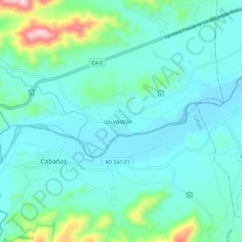
Name: Usumatlán topographic map, elevation, terrain.
Location: Usumatlán, Zacapa, Guatemala (14.90764 -89.81586 14.98764 -89.73586)
Average elevation: 288 m
Minimum elevation: 199 m
Maximum elevation: 735 m