
Thank you for supporting this site ❤️
Make a donation
Make a donation
Corfe Mullen topographic map
Click on the map to display elevation.
Thank you for supporting this site ❤️
Make a donation
Make a donation
About this map
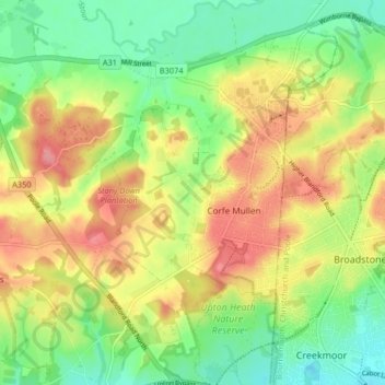
Name: Corfe Mullen topographic map, elevation, terrain.
Location: Corfe Mullen, Dorset, England, United Kingdom (50.74286 -2.05124 50.79446 -1.99913)
Average elevation: 45 m
Minimum elevation: 4 m
Maximum elevation: 94 m
Thank you for supporting this site ❤️
Make a donation
Make a donation