
Santa Comba topographic map
Interactive map
Click on the map to display elevation.
About this map
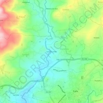
Name: Santa Comba topographic map, elevation, terrain.
Location: Santa Comba, Fornelos, Fafe, Braga, 4820-412, Portugal (41.44680 -8.20319 41.48680 -8.16319)
Average elevation: 338 m
Minimum elevation: 238 m
Maximum elevation: 534 m