
Thank you for supporting this site ❤️
Make a donation
Make a donation
Bischleben-Stedten topographic map
Click on the map to display elevation.
Thank you for supporting this site ❤️
Make a donation
Make a donation
About this map
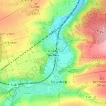
Name: Bischleben-Stedten topographic map, elevation, terrain.
Location: Bischleben-Stedten, Erfurt, Thuringia, 99094, Germany (50.91363 10.96671 50.95363 11.00671)
Average elevation: 262 m
Minimum elevation: 202 m
Maximum elevation: 332 m
Thank you for supporting this site ❤️
Make a donation
Make a donation