
Gemeinde Talatona topographic map
Interactive map
Click on the map to display elevation.
About this map
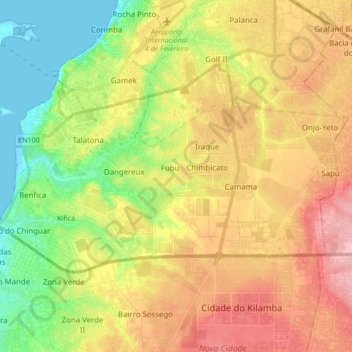
Name: Gemeinde Talatona topographic map, elevation, terrain.
Location: Gemeinde Talatona, Provinz Luanda, Angola (-8.98114 13.14671 -8.88927 13.31675)
Average elevation: 64 m
Minimum elevation: -1 m
Maximum elevation: 134 m