
Thank you for supporting this site ❤️
Make a donation
Make a donation
Commonwealth-B topographic map
Click on the map to display elevation.
Thank you for supporting this site ❤️
Make a donation
Make a donation
About this map
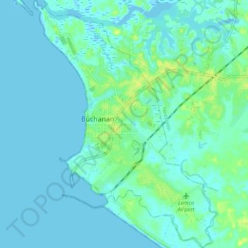
Name: Commonwealth-B topographic map, elevation, terrain.
Location: Commonwealth-B, Grand Bassa County, 4000, Liberia (5.84051 -10.06969 5.91893 -10.01150)
Average elevation: 4 m
Minimum elevation: -3 m
Maximum elevation: 16 m
Thank you for supporting this site ❤️
Make a donation
Make a donation