
Grahamstown topographic map
Interactive map
Click on the map to display elevation.
About this map
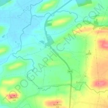
Name: Grahamstown topographic map, elevation, terrain.
Average elevation: 29 m
Minimum elevation: 0 m
Maximum elevation: 85 m
Other topographic maps
Click on a map to view its topography, its elevation and its terrain.
Inishowen Municipal District
Inishowen Municipal District, County Donegal, Ulster, Ireland
Average elevation: 59 m