
Rural topographic map
Interactive map
Click on the map to display elevation.
About this map
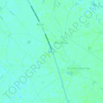
Name: Rural topographic map, elevation, terrain.
Location: Rural, Afgooye District, Lower Shabelle, South West, Somalia (2.23890 45.08233 2.27890 45.12233)
Average elevation: 84 m
Minimum elevation: 81 m
Maximum elevation: 87 m