
Sardoal topographic map
Interactive map
Click on the map to display elevation.
About this map
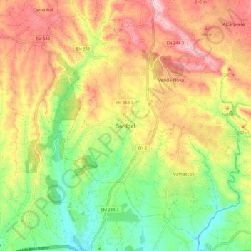
Name: Sardoal topographic map, elevation, terrain.
Location: Sardoal, Santarém, 2220, Portugal (39.49347 -8.20034 39.57347 -8.12034)
Average elevation: 188 m
Minimum elevation: 53 m
Maximum elevation: 331 m