
Elkfork topographic map
Interactive map
Click on the map to display elevation.
About this map
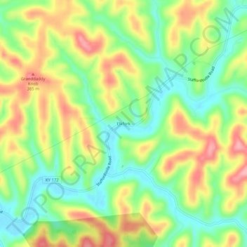
Name: Elkfork topographic map, elevation, terrain.
Location: Elkfork, Morgan County, Kentucky, 41421, USA (37.94481 -83.15295 37.98481 -83.11295)
Average elevation: 300 m
Minimum elevation: 243 m
Maximum elevation: 372 m