
Thank you for supporting this site ❤️
Make a donation
Make a donation
Doko topographic map
Click on the map to display elevation.
Thank you for supporting this site ❤️
Make a donation
Make a donation
About this map
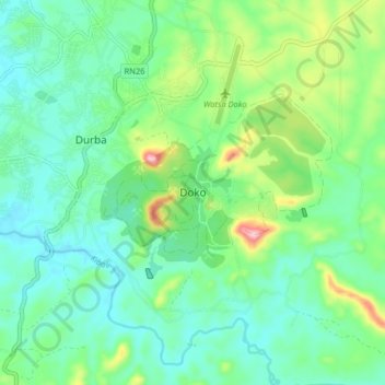
Name: Doko topographic map, elevation, terrain.
Location: Doko, Upper Uele, Democratic Republic of the Congo (3.07628 29.54308 3.15628 29.62308)
Average elevation: 846 m
Minimum elevation: 786 m
Maximum elevation: 1,019 m
Thank you for supporting this site ❤️
Make a donation
Make a donation
Other topographic maps
Click on a map to view its topography, its elevation and its terrain.