
Thank you for supporting this site ❤️
Make a donation
Make a donation
Woodcraft topographic map
Click on the map to display elevation.
Thank you for supporting this site ❤️
Make a donation
Make a donation
About this map
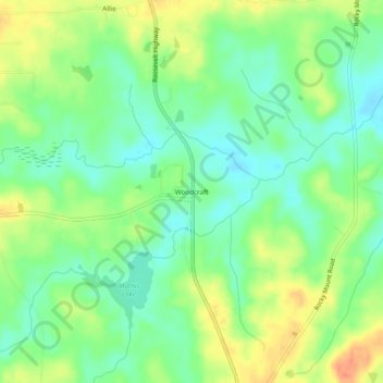
Name: Woodcraft topographic map, elevation, terrain.
Location: Woodcraft, Meriwether County, Georgia, 30222, United States (33.06012 -84.73854 33.10012 -84.69854)
Average elevation: 249 m
Minimum elevation: 229 m
Maximum elevation: 277 m
Thank you for supporting this site ❤️
Make a donation
Make a donation
Other topographic maps
Click on a map to view its topography, its elevation and its terrain.
Warm Springs
United States > Georgia > Meriwether County
Warm Springs is located in southern Meriwether County at 32°53′19″N 84°40′48″W / 32.88861°N 84.68000°W / 32.88861; -84.68000 (32.888689, −84.680089). It is bordered to the south by Talbot County and to the west by F. D. Roosevelt State Park, including the Little White House. Pine…
Average elevation: 295 m