
Tondern topographic map
Interactive map
Click on the map to display elevation.
About this map
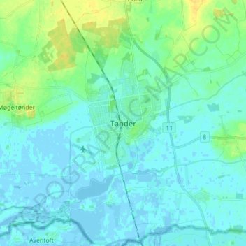
Name: Tondern topographic map, elevation, terrain.
Location: Tondern, Kommune Tondern, 6270, Dänemark (54.89806 8.82294 54.97806 8.90294)
Average elevation: 5 m
Minimum elevation: -4 m
Maximum elevation: 20 m