
Thank you for supporting this site ❤️
Make a donation
Make a donation
Longewala topographic map
Click on the map to display elevation.
Thank you for supporting this site ❤️
Make a donation
Make a donation
About this map
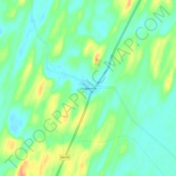
Name: Longewala topographic map, elevation, terrain.
Location: Longewala, Jaisalmer Tehsil, Jaisalmer, Rajasthan, India (27.50276 70.13448 27.54276 70.17448)
Average elevation: 106 m
Minimum elevation: 91 m
Maximum elevation: 132 m
Thank you for supporting this site ❤️
Make a donation
Make a donation
Other topographic maps
Click on a map to view its topography, its elevation and its terrain.