
Thank you for supporting this site ❤️
Make a donation
Make a donation
Mukwonago topographic map
Click on the map to display elevation.
Thank you for supporting this site ❤️
Make a donation
Make a donation
About this map
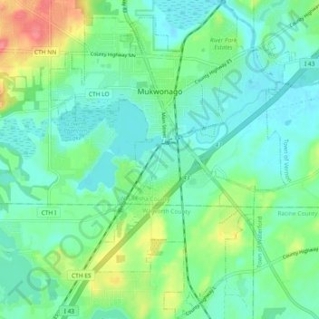
Name: Mukwonago topographic map, elevation, terrain.
Location: Mukwonago, Waukesha County, Wisconsin, 53149, United States (42.81836 -88.36521 42.88602 -88.29416)
Average elevation: 255 m
Minimum elevation: 235 m
Maximum elevation: 307 m
Thank you for supporting this site ❤️
Make a donation
Make a donation