
Thank you for supporting this site ❤️
Make a donation
Make a donation
Jasper Hill topographic map
Click on the map to display elevation.
Thank you for supporting this site ❤️
Make a donation
Make a donation
About this map
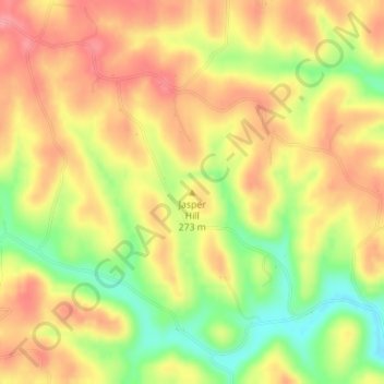
Name: Jasper Hill topographic map, elevation, terrain.
Location: Jasper Hill, Athens County, Ohio, 45735, United States (39.23475 -81.94019 39.23485 -81.94009)
Average elevation: 257 m
Minimum elevation: 205 m
Maximum elevation: 293 m
Thank you for supporting this site ❤️
Make a donation
Make a donation