
Peindein topographic map
Interactive map
Click on the map to display elevation.
About this map
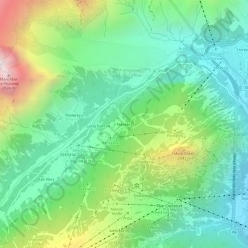
Name: Peindein topographic map, elevation, terrain.
Location: Peindein, Courmayeur, Valle d'Aosta, 11013, Italië (45.78378 6.91495 45.82378 6.95495)
Average elevation: 1,741 m
Minimum elevation: 1,199 m
Maximum elevation: 2,961 m