
Serole topographic map
Interactive map
Click on the map to display elevation.
About this map
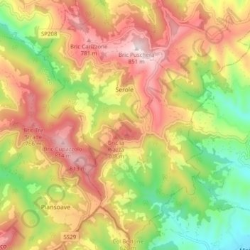
Name: Serole topographic map, elevation, terrain.
Location: Serole, AT, Piëmont, Italië (44.51899 8.23230 44.57331 8.28613)
Average elevation: 553 m
Minimum elevation: 252 m
Maximum elevation: 840 m