
Westbere topographic map
Interactive map
Click on the map to display elevation.
About this map
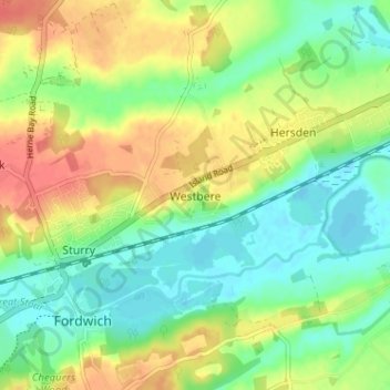
Name: Westbere topographic map, elevation, terrain.
Location: Westbere, Kent, South East, England, CT2 0HL, United Kingdom (51.28815 1.12410 51.32815 1.16410)
Average elevation: 22 m
Minimum elevation: -2 m
Maximum elevation: 52 m