
Trenton topographic map
Interactive map
Click on the map to display elevation.
About this map
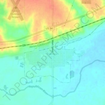
Name: Trenton topographic map, elevation, terrain.
Location: Trenton, Hitchcock County, Nebraska, 69044, United States (40.16836 -101.02273 40.18387 -101.00348)
Average elevation: 826 m
Minimum elevation: 810 m
Maximum elevation: 855 m
Other topographic maps
Click on a map to view its topography, its elevation and its terrain.
Palisade
United States > Nebraska > Hitchcock County
Palisade, Hitchcock County, Nebraska, United States
Average elevation: 849 m