
Thank you for supporting this site ❤️
Make a donation
Make a donation
Langeweg topographic map
Click on the map to display elevation.
Thank you for supporting this site ❤️
Make a donation
Make a donation
About this map
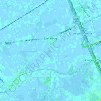
Name: Langeweg topographic map, elevation, terrain.
Location: Langeweg, Moerdijk, North Brabant, Netherlands (51.62524 4.62417 51.66128 4.69907)
Average elevation: 0 m
Minimum elevation: -3 m
Maximum elevation: 5 m
Thank you for supporting this site ❤️
Make a donation
Make a donation
Other topographic maps
Click on a map to view its topography, its elevation and its terrain.