
Dongtang Subdistrict topographic map
Interactive map
Click on the map to display elevation.
About this map
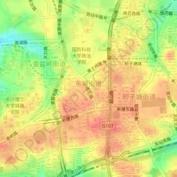
Name: Dongtang Subdistrict topographic map, elevation, terrain.
Location: Dongtang Subdistrict, Yuhua District, Hunan, 410074, China (28.14773 112.97835 28.17570 112.98918)
Average elevation: 78 m
Minimum elevation: 44 m
Maximum elevation: 97 m