
Thank you for supporting this site ❤️
Make a donation
Make a donation
Dartlo topographic map
Click on the map to display elevation.
Thank you for supporting this site ❤️
Make a donation
Make a donation
About this map
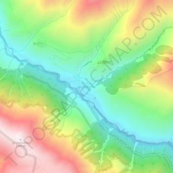
Name: Dartlo topographic map, elevation, terrain.
Location: Dartlo, Akhmeta Municipality, Kakheti, Georgia (42.41836 45.56239 42.45836 45.60239)
Average elevation: 2,264 m
Minimum elevation: 1,763 m
Maximum elevation: 2,994 m
Thank you for supporting this site ❤️
Make a donation
Make a donation
Other topographic maps
Click on a map to view its topography, its elevation and its terrain.