
Göreme topographic map
Interactive map
Click on the map to display elevation.
About this map
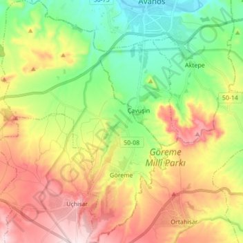
Name: Göreme topographic map, elevation, terrain.
Average elevation: 1,118 m
Minimum elevation: 919 m
Maximum elevation: 1,386 m
Other topographic maps
Click on a map to view its topography, its elevation and its terrain.
Boğaz Köyü
Boğaz Köyü, Nevşehir Merkez, Nevşehir, İç Anadolu Bölgesi, Turquie
Average elevation: 1,412 m